|
The TOMO-ETNA active seismic experiment was conducted between June 18th and November 28th, 2014, including both on- and offshore activities. It was coordinated by the University of Granada (Spain) and the Istituto Nazionale di Geofisica e Vulcanologia, Osservatorio Etneo (INGV-OE, Italy). The TOMO-ETNA experiment integrates the European Union project “MEDiterranean SUpersite Volcanoes (MED-SUV)” efforts with the resources of the EU project “EUROFLEETS 2”, and other funding agencies from Italy, Spain, and Germany. In addition, the Italian Navy and the “Dipartimento di Protezione Civile della Regione Siciliana” actively participated in TOMO-ETNA. The Main researcher of the project EF2-SI-005 MED-SUV.ISES was prof. Giuseppe Puglisi from INGV-Catania, Osservatorio Etneo, Italy.
During the marine surveys about 9700 airgun shots were produced for achieving a high-resolution seismic tomography through the Wide-Angle refraction Seismic method, covering a total route of nearly 2650 km. To register ground motion induced by this active source, 27 Ocean Bottom Seismometers were deployed, extending the Istituto Nazionale di Geofisica e Vulcanologia inland permanent seismic network. A total of some 1410 km of Multi-Channel Seismic reflection profiles were acquired to image the subsurface seismostratigraphic and structural pattern of the area and to calibrate the velocity model for Wide-Angle refraction Seismic tomography. In the first phase of the experiment, Multibeam Sonar and Sub Bottom Profiler data were also collected. Moreover, a total of 2020 km of magnetic and 680 km of gravity track lines were acquired to identify any anomalies in the magnetic and gravity fields offshore Mt. Etna volcano. Finally, some Remotely Operated Vehicle dives were also performed during which several images and seafloor samples were collected.
The first phase started on June 15th, 2014 and finalized on July 24th, 2014, with the withdrawal of two removable seismic networks (a Short Period Network and a Broadband network composed by 80 and 20 stations respectively) deployed at Etna volcano and surrounding areas. During this first phase the Oceanographic Research Vessel (R/V) “Sarmiento de Gamboa” and the Hydro-oceanographic Vessel(H/V) “Galatea” performed the offshore activities, which includes the deployment of OBSs (Ocean Bottom Seismometers), air-gun shooting for Wide Angle Seismic refraction (WAS), Multi-Channel Seismic (MCS) reflection surveys, magnetic surveys and ROV (Remotely Operated Vehicle) dives.
The second cruise TOMOETNA, EF2-SI-005 MED-SUV.ISES was scheduled to better detail the geological features of the study area through the acquisition of high resolution (HR) MCS profiles; it was planned to acquire about 850 km of seismic lines in the Tyrrhenian and 180 km in the Ionian seas. To achieve the maximum fold coverage a run-out distance of 150 m (half the streamer length) was adopted. The line acquisition was planned in order to minimize the transit time. Two broad-band OBSs, deployed by the Sarmiento de Gamboa during the first cruise, were also recovered. The OBS recovery started on November 19th, the WAS acquisition started on November 20th in the Tyrrhenian area and ended on November 26 in the Ionian Sea. In order to save shipment cost MCS and OBS systems were embarked and disembarked from Catania on the 19th and 26th of November 2014, respectively.
The TOMO ETNA experiment is an active source tomographic study, integrated by other geophysical surveys, carried out on the region of one of the most active basaltic volcanoes worldwide that could allow improving the knowledge of Etna. In fact, the future results of the linked researches should help scientists to better understand the eruptive mechanisms, and provide insights on its internal structure and on the deeper part of its plumbing system. This experiment engaged several European and non-European scientific institutions. It required an enormous management effort to plan the fieldworks and to coordinate hundreds of people employed on land and on the vessels during the experiment as well as to organize the data management and processing. It is remarkable that the experiment has been a complete success on the base on: i) the quantity and high quality of the acquired data; ii) the full integration of permanent and temporal seismic networks in different environments; iii) the wide covered region including volcanic and non-volcanic areas; iv) the multidisciplinary techniques integrated in the data acquisition; v) the international collaboration and efforts involved in the whole process; vi) the capacity to share responsibilities, data and scientific objectives that will produce at the same time several scientific results, among others.
|
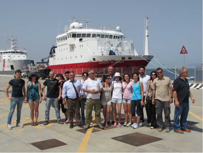
The MED-SUV.ISES (Eurofleet) team in front of the “Sarmiento de Gamboa
|